Circuit de randonnée : Boucle du Maquis Bernard
Foot
in Ouroux-en-Morvan
17.2
km
Foot
Medium
-
Leaving from Ouroux-en-Morvan, follow in the footsteps of one of the Morvan's most famous maquis: Le Maquis Bernard.
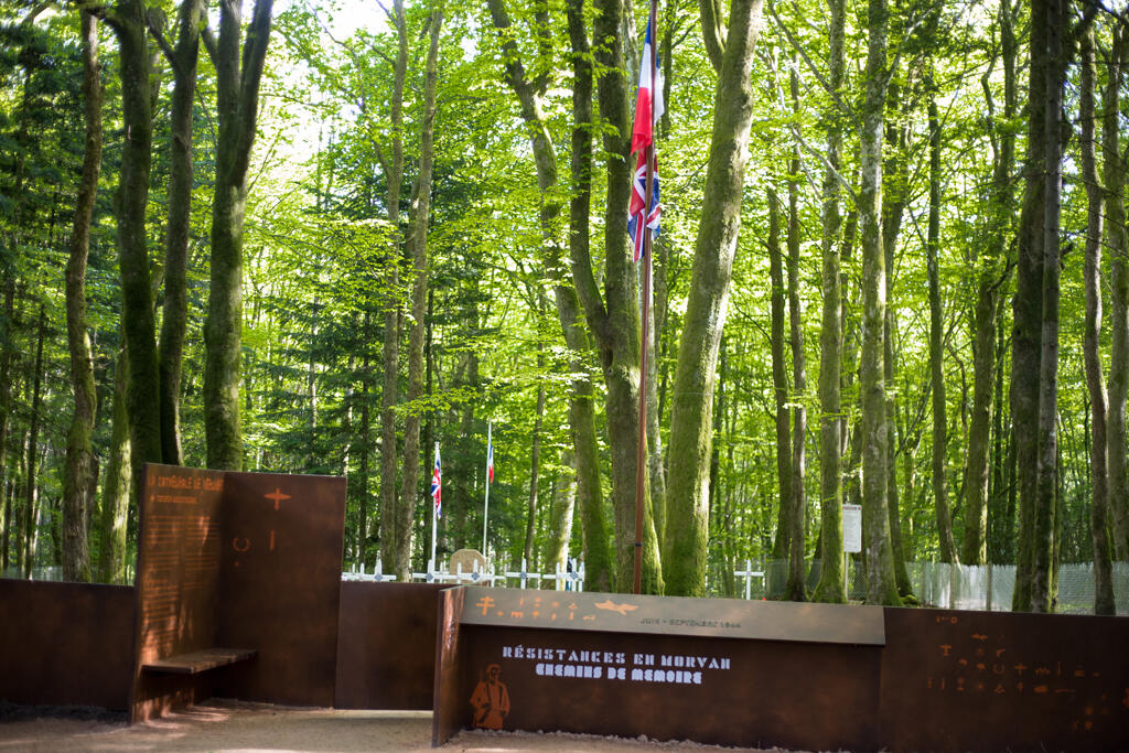
A 19km trail will take you through the countryside and forests of the Morvan, in the heart of which lies a former military cemetery dating from the Resistance era. Take a real step back in time!
A 19km walk starting from Ouroux-en-Morvan or from the former Coeuson guardhouse for a shorter walk (11km).
- Departure
- Ouroux-en-Morvan
-
-
Difference in height
- 421.667 m
-
-
-
Documentation
-
- boucle maquis bernard
- Tracé GPX de l'itinéraire : Circuit de randonnée : Boucle du Maquis Bernard
- Tracé KML de l'itinéraire : Circuit de randonnée : Boucle du Maquis Bernard
-
- 422 meters of difference in height
-
- Maximum altitude : 647 m
- Minimum altitude : 472 m
- Total positive elevation : 422 m
- Total negative elevation : -422 m
- Max positive elevation : 96 m
- Min positive elevation : -109 m