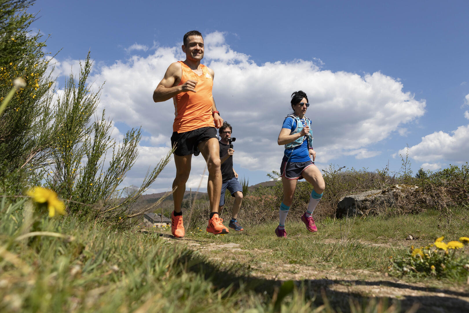
Circuit de Trail: Boucle n°2 de Chateau-Chinon
Trail
in Château-Chinon (Ville)
15.0
km
Trail
Medium
-
This 17km route, with a gradient of almost 450m, takes you up the slopes of Château-Chinon to discover or rediscover the Morvan capital's promontory setting (gradient 530m). As the starting point is a little off the beaten track (joining the Yonne valley and the summit of Château-Chinon known as "le Calvaire"), you'll need to cover 1,500 metres on tarmac or footpaths to warm up gradually.
- Departure
- Château-Chinon (Ville)
-
-
Difference in height
- 514.333 m
-
-
-
Documentation
-
- Tracé GPX de l'itinéraire : Circuit de Trail: Boucle n°2 de Chateau-Chinon
- Tracé KML de l'itinéraire : Circuit de Trail: Boucle n°2 de Chateau-Chinon
-
- 514 meters of difference in height
-
- Maximum altitude : 598 m
- Minimum altitude : 383 m
- Total positive elevation : 514 m
- Total negative elevation : -514 m
- Max positive elevation : 120 m
- Min positive elevation : -99 m