Circuit VTT-FCC
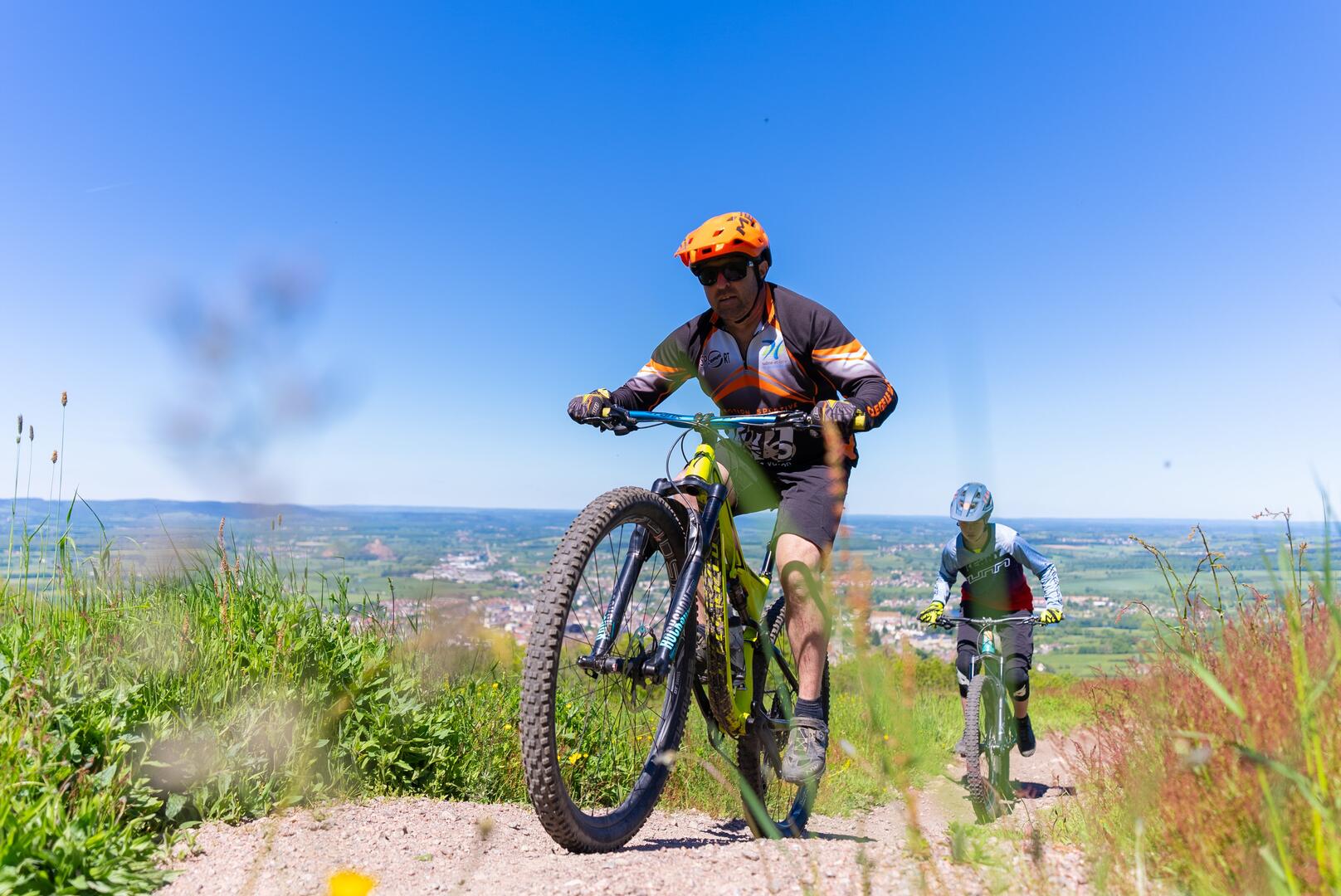
Mountain biking
in Thil-sur-Arroux
-
MTB-FCC circuit in Grand Autunois Morvan, in the south of the park, between forest and lake.
- Departure
- Thil-sur-Arroux
-
-
Difference in height
- 166.667 m
-
-
-
Documentation
- GPX / KML files allow you to export the trail of your hike to your GPS (or other navigation tool)
-
- 167 meters of difference in height
-
- Maximum altitude : 315 m
- Minimum altitude : 265 m
- Total positive elevation : 167 m
- Total negative elevation : -167 m
- Max positive elevation : 35 m
- Min positive elevation : -32 m