Itinérance Verte en Autunois-Morvan
Tourist on bicycle
in Anost
31.2
km
Tourist on bicycle
Hard
-
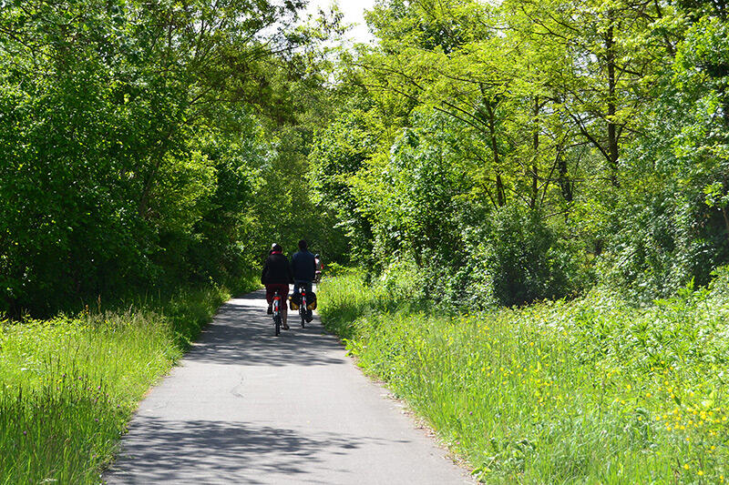
Starting from the village of Anost, answer the call of the Morvan hills and forests and its wild beauty with the aim of reaching Autun, the Gallo-Roman city! This is a route along the cycle routes, also heckling with grassy or stony paths, where you will evolve in the heart of a range of greens with regenerating properties in the south of the Morvan Regional Natural Park. The beautiful Augustodunum can be earned with a little effort. The countryside reveals its magnificent nature and a...
Starting from the village of Anost, answer the call of the Morvan hills and forests and its wild beauty with the aim of reaching Autun, the Gallo-Roman city! This is a route along the cycle routes, also heckling with grassy or stony paths, where you will evolve in the heart of a range of greens with regenerating properties in the south of the Morvan Regional Natural Park. The beautiful Augustodunum can be earned with a little effort. The countryside reveals its magnificent nature and a relief with a somewhat eventful course. Mountain bikers have the opportunity to ride the route of the Grande Traversée du Massif Central (GTMC) and build up their calves on the uphill and downhill stages of Anost-Glux-en-Glenne or the link from Autun to Mesvres.
- Departure
- Anost
-
-
Difference in height
- 193.184 m
-
-
-
Documentation
-
- Tracé GPX de l'itinéraire : Itinérance Verte en Autunois-Morvan
- Tracé KML de l'itinéraire : Itinérance Verte en Autunois-Morvan
-
- 193 meters of difference in height
-
- Maximum altitude : 666 m
- Minimum altitude : 287 m
- Total positive elevation : 193 m
- Total negative elevation : -520 m
- Max positive elevation : 53 m
- Min positive elevation : -190 m