Voie celte Runchy
Foot
in Mesvres
8.9
km
Foot
Medium
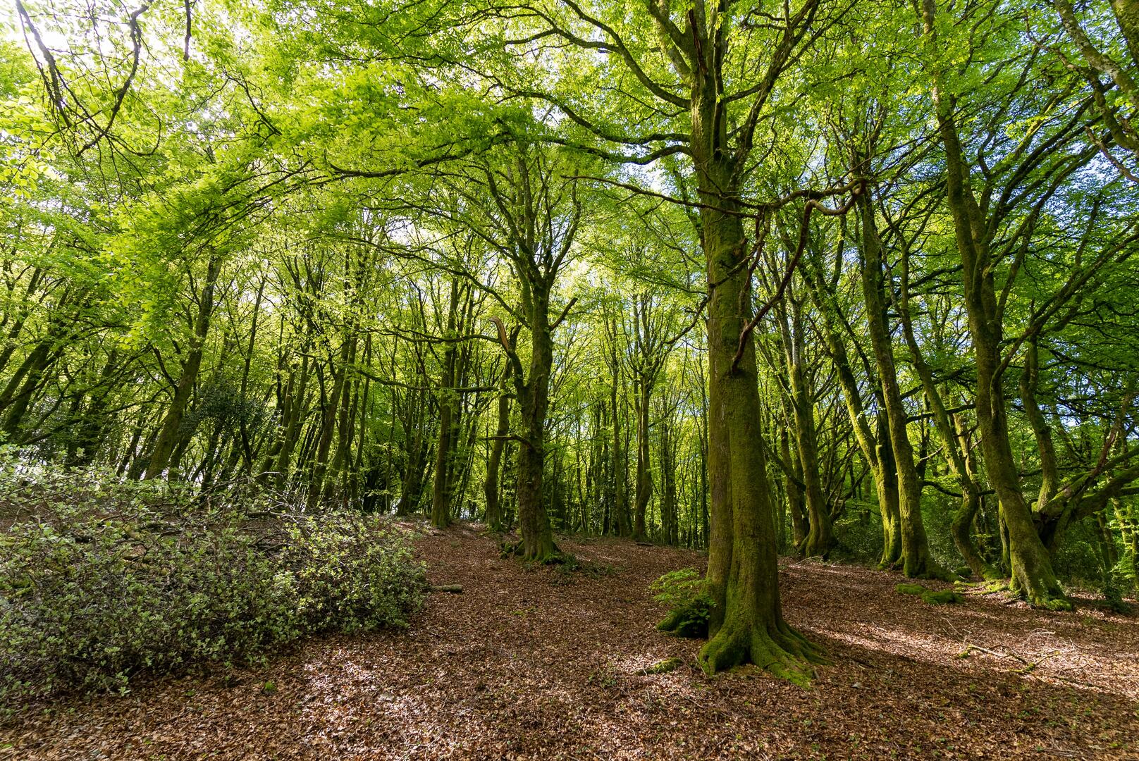
-
Forest route (avoid during the hunting season). Great views of the Mont Beuvray massif.
- Departure
- Mesvres
-
-
Difference in height
- 316.346 m
-
-
-
Documentation
- GPX / KML files allow you to export the trail of your hike to your GPS (or other navigation tool)
-
- 316 meters of difference in height
-
- Maximum altitude : 661 m
- Minimum altitude : 376 m
- Total positive elevation : 316 m
- Total negative elevation : -316 m
- Max positive elevation : 232 m
- Min positive elevation : -107 m